Blake Garwood's Webpage

Email me: blake@blakegarwood.com
My Resume
My LinkedIn
Some interesting projects I've worked on:
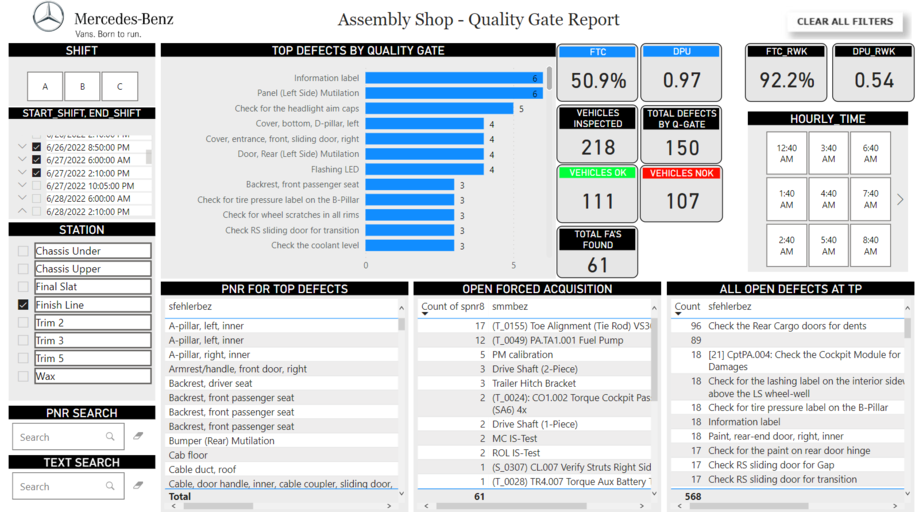
Mercedes-Benz VI.OS
The Vans Intelligent Operation System (VI.OS) is a data
platform set up for the Mercedes-Bens Vans organization.
It originates in Charleston, where I worked on
it, but it will be used throughout the world in all of the
Mercedes-Benz Vans manufacturing plants.
The platform is for conducting analytics on all sides of the
organization.
We focused on production purposes, but the platform
will grow into supply chain as well as business in the
fullness of time.
Check out my colleague's documentation to find out more about
the Microsoft Azure cloud suite and how to navigate it
here.
NASA Research Grant
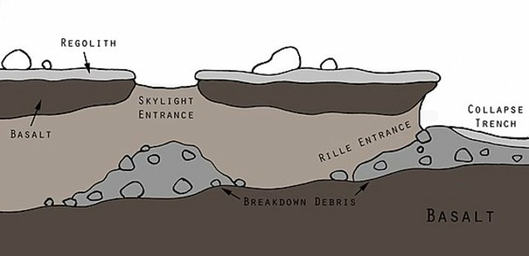
My team worked with JPL engineers to develop a mission
concept for the exploration of Martian lava tubes.
This mission concept is unique in that it incorporates
multiple robots, but not in the traditional "swarm" style.
To navigate a tight space such as a lava tube, the robots need
to be small and nimble.
They still must carry all of the scientific instruments
required to conduct thorough exploration and testing, so the
tools are distributed amongst a coordinated fleet.
View our poster for the mission
here.
To learn more about my coworkers' main focus (CADRE), click
here.
Satellite Imagery Pathfinding
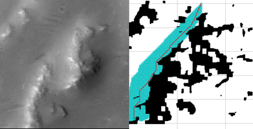
This project was created to find travel routes for
extraterrestrial rovers using satellite imagery.
This would allow us to search through many imaged locations
of different planets to find potential landing sites that
are highly travelable by rovers.
To learn more about the procedure and results, click
here.
Spectral Unmixing
Spectral unmixing is used to identify materials using
hyperspectral imagery.
Different materials have different spectral signatures,
allowing computers to categorize them into a library of
pre-selected endmembers.
This project tested the ability to automatically generate
a library of endmembers for spectral unmixing using
k-means clustering.
To learn more about the procedure and results, click
here.
Street Flood Monitoring
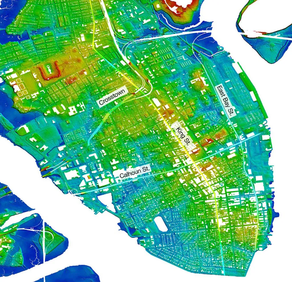
This project was an attempt to host a flood map
for Charleston city streets. Street flooding is a huge
problem in Charleston. My team developed sensors that could
be installed at flood-prone intersections to measure the
real-time water level.
This data could then be communicated with the public via
an internet-based map.
A successful execution of this project would inclued the
capabilities to host a visual map of flooded intersections,
as well as an API for navigation/weather applications to query.
The beginnings of this are hosted here.


